CADMapper vs Shapezo: Three Model States in CityEngine Projects
I think of city modeling as a data contract. The geometry is only one part. I also need to know where it came from, which assumptions changed it, how current the source is, and what the next user expects to do with it. In a CityEngine project, CADMapper and Shapezo can both be useful, but they produce different kinds of information.
Shapezo begins with a selected map boundary and an AI request. CADMapper begins with AutoCAD, GIS, terrain, or related source files. CityEngine combines imported content with procedural rules and spatial analysis tools. I keep these stages separate so a plausible concept is never mistaken for an authoritative city layer.
State A: generated exploration
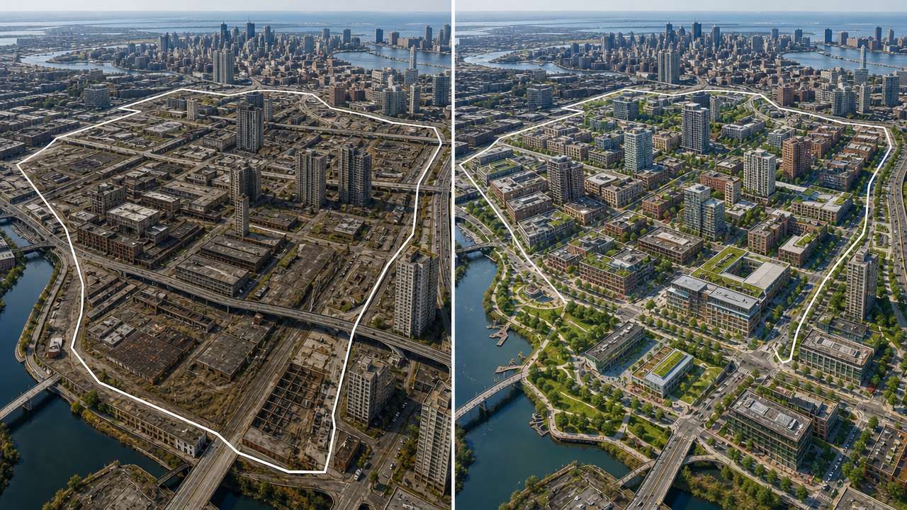
For an early planning question, I draw a boundary around a block, corridor, campus edge, or vacant parcel in Shapezo. I use the generated model to explore massing, density, access, open space, and broad relationships. I version the boundary and record the date and prompt assumptions alongside the image or mesh.
This state is intentionally incomplete. The AI may infer a street that does not have a legal connection or a building that ignores a utility easement. I use the output to decide what to investigate, not to skip the investigation.
State B: imported source geometry
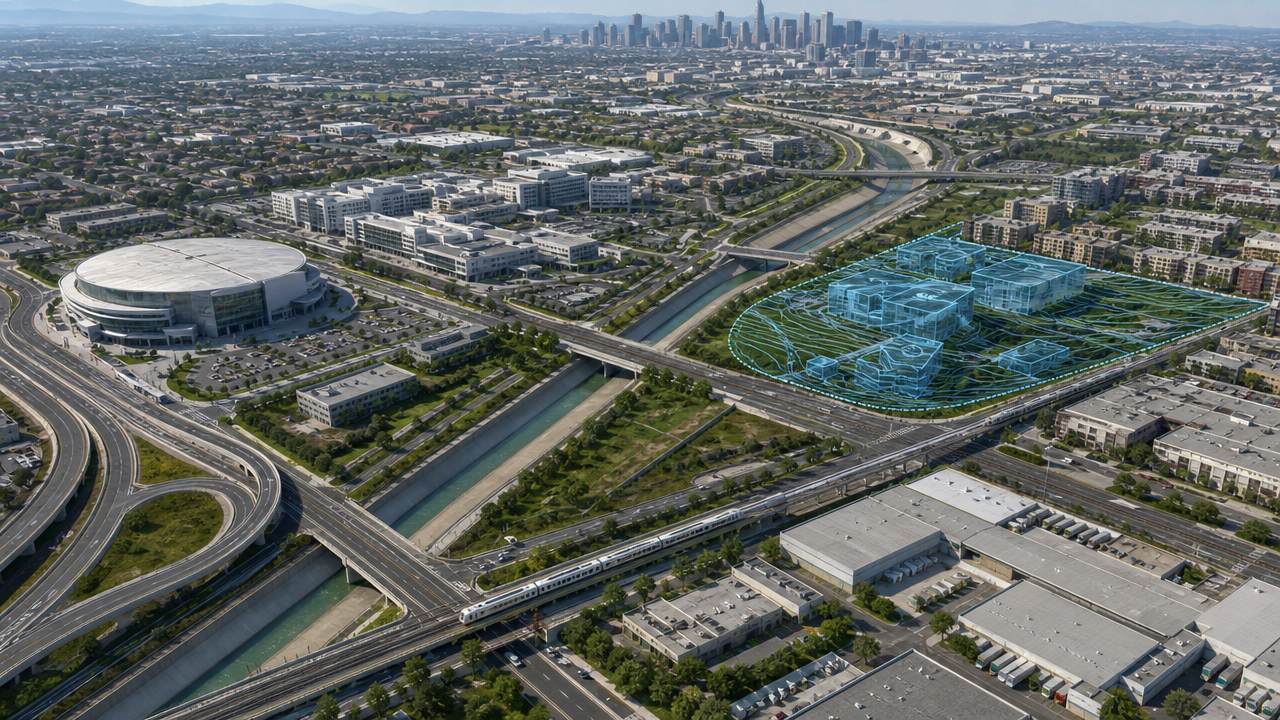
When one option deserves a stronger test, I prepare CADMapper inputs. DWG and DXF files may carry footprints, alignments, elevations, and infrastructure. PDF or SVG drawings can add other design information, while terrain, imagery, and GIS layers provide the wider setting. Before conversion, I check units, coordinate reference, layer semantics, coverage, and source dates.
After conversion, I compare a few known measurements and inspect the edges where layers meet. This catches common problems such as shifted coordinates, open polygons, duplicate surfaces, and missing terrain. I keep the imported objects identifiable so a later reviewer can follow them back to the source package.
State C: procedural city context
CityEngine is where I make repeated decisions explicit. Rules can control floor count, height, setbacks, roof types, street profiles, landscape density, and other city elements. I can apply the same logic to many parcels, then adjust parameters for a neighborhood, a corridor, or a single special site.
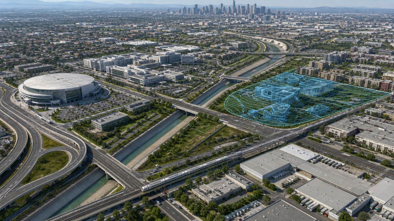
The surrounding context is part of the rule-driven scene. Terrain, water, roads, existing buildings, parks, and infrastructure help me test a proposal as a relationship rather than an isolated object. This is also where I can prepare viewshed, daylight, movement, land-use, or environmental studies, provided the source data is fit for that purpose.
Export is an interface, not a quality stamp
I choose CityGML, 3D Tiles, OBJ, FBX, PLY, STL, or another format based on the next system. A semantic city exchange needs meaningful objects. A browser view needs efficient geometry. A renderer may need materials. The format cannot repair an inaccurate coordinate system or a missing layer, so I keep validation separate from export.

Checks before I call it analysis-ready
I check alignment, scale, terrain continuity, object completeness, source dates, and level of detail. I inspect the selected area and its neighbors from multiple views. I compare the Shapezo concept with the CADMapper and CityEngine result so the handoff remains visible. I also keep a layer manifest that names the source or rule behind each major object.
For repeatability, I version the boundary, source files, conversion settings, rule package, and export settings together. If a model changes, I can tell whether the cause was new CAD data, a new filter, or a changed procedural parameter. That is more useful than relying on a single final screenshot.
This record is especially useful when a model moves between teams. A reviewer can see which layers are authoritative, which objects are simplified, and which shapes came only from the early AI study. The context travels with the model instead of being lost in a meeting note.
My reliability rule
Shapezo is for generated exploration. CADMapper is for carrying source-backed CAD and map structure into 3D. CityEngine is for rule-driven context and analysis preparation. A project becomes easier to trust when each state has a clear label and a clear handoff.